If you stand with outstretched arms, it likely means you’re about to give somebody a hug. But it could also mean that you’re showing them the length of a fathom — a unit that’s been used to measure the depth of the sea for centuries. It’s one of several measurements developed for maritime use that are still around today.
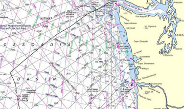
 “Fathom” comes from an Old English word that means “outstretched arms.” And in fact, the earliest fathom was measured just that way. Arm-span varied from sailor to sailor, though, so countries developed their own definitions for a fathom. Today, the international standard is six feet. Fathoms are still used on navigation charts for American waters.
The nautical mile is used on charts around the world for navigation by sea or air, and for maritime treaties. It’s 15 percent longer than a statute mile, which is the type that shows up on highway signs.
The nautical mile is the average north-south distance covered by one minute of latitude. A circle is split into 21,600 minutes, so around the poles, Earth is 21,600 nautical miles in circumference.
The nautical mile defines another term: the knot.
Early sailors used a rope with knots tied at regular intervals to measure their speed. They’d attach a wooden log to one end of the rope and throw the log over the back of the ship. Counting the knots that unwound over a certain time revealed speed. Today, one “knot” is one nautical mile per hour — a unit that sets the standard for cruising the world’s oceans.

